FINDING AIDS
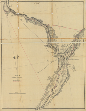
Map of a proposed reservation at Fort Snelling

Creator: Smith, E. Kirby (Ephraim Kirby), 1807-1847.
Scale: 1:31,680.
Date: 1839.
Measurement: 67 x 52 cm.
Location: +RESERVE 30
Home / Library / Finding Aids / Map of a proposed reservation at Fort Snelling

Creator: Smith, E. Kirby (Ephraim Kirby), 1807-1847.
Scale: 1:31,680.
Date: 1839.
Measurement: 67 x 52 cm.
Location: +RESERVE 30